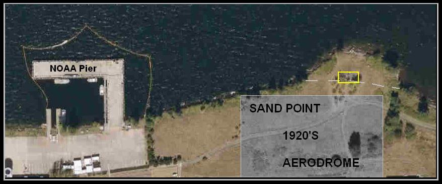
 The yellow square marks the structure
|
..
 .. Lake Washington View Point .. SCOTT BURTON .. Along north side of NOAA buildings |
|
The
GRAY AREA marks the location of the AERODOME's north end in the 1920's
which DWC's used for the
FIRST AROUND THE WORLD FLIGHT There was a dock at the left side of the field where the planes were placed in the water. They took took off April 6, 1924 and returned September 28, 1924, on wheels at the AERODOME's south end. The dashed line through the yellow square marks the 1920's shore line. This point was added for location of air base electronics when it was in operation. See 1953 photo. (this could be debated) Click image for larger view 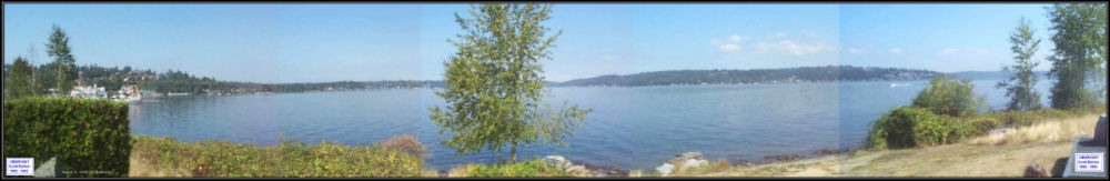 View - looking west - of the Scott Burton Viewpoint structure. 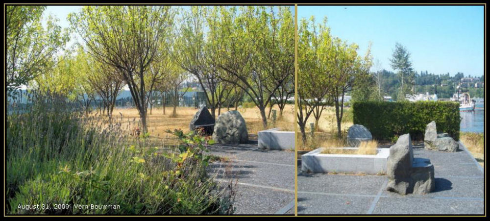 |
|
Rev. April 14, 2010