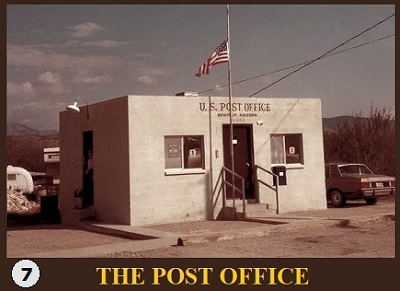
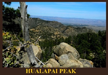
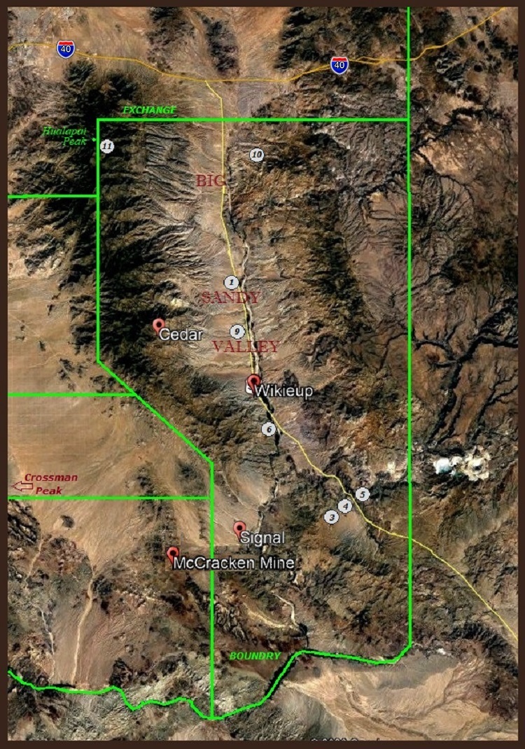
WIKIEUP EXCHANGE
The TOWN of Wikieup, Arizona, located in the BIG SANDY VALLEY, is approximately 32 miles south of Interstate 40 and approximately 124 miles northwest of Phoenix, Arizona.

Go To EXCHANGE Map
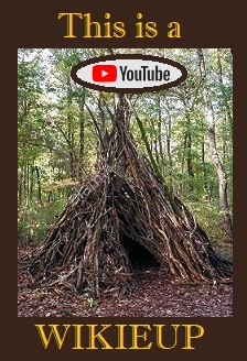
Wikieup, the small town, was home to settlements of Hualapai Indians, also known as Walapais. Wikieup is a Mohave word for "shelter" or "home." Shelters of grass and branches, that the Hualapai Indians made, were therefore called a WIKIEUP. A shelter made of grass and branches, was near the proposed site of a post office, So, The NAME "WIKIEUP" was adopted.
From Arizona Central News.
From Arizona Central News.

The old Mining map, RIGHT, displays 3 mines close to Wikieup.
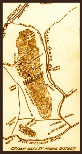
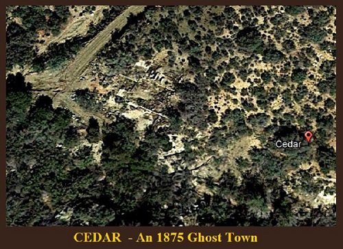
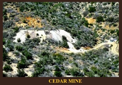
CEDAR was a gold, silver and copper mining town in Mohave County, Arizona. It was founded around 1875 on the east slope of the Hualapai Mountains, sixty miles southeast of Kingman.
A post office was established on September 24, 1895 and closed on July 31, 1911. There were two saloons, and a general store with several homes.
In 1907 the Cedar Valley Gold & Silver Company along with the Yucca Cyanide Mining & Milling Company reported that about 200 people lived in the town, within a decade later the site was abandoned. A half mile area inside Cedar Valley is littered with stone ruins and foundations of the mining buildings.
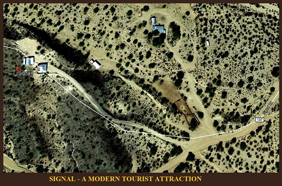
SIGNAL is a ghost town located on the banks of the Big Sandy River. It was a mining center from the 1870s to 1930s. Remnants of the town can still be seen today along with nearby Virginia City. In the town's heyday it had 5 stores, 3 restaurants, and 13 saloons and its own brewery.
The town was mostly abandoned by 1932, but a few ranches in the area continue to this day. Little remains of the original mines and mill still exist. Scattered ruins of mine equipment and adobe ruins of the town mark the site today.
The town was mostly abandoned by 1932, but a few ranches in the area continue to this day. Little remains of the original mines and mill still exist. Scattered ruins of mine equipment and adobe ruins of the town mark the site today.

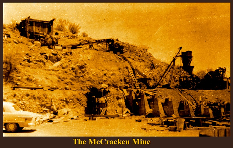
The McCracken Mine is an old mining operation based upon silver a lead, but mixed small deposits of gold, zinc, manganese, copper and barite. The original discovery was on McCracken Peak in 1874. It drew miners rapidly, and produced about $1.5 million worth of silver up to 1906. The area has sat mostly idle in the Sonoran Desert sun since then.
This mine is located about 30 miles south of my cactus ranch. Jan Emming Yucca, AZ .
This mine is located about 30 miles south of my cactus ranch. Jan Emming Yucca, AZ .
This report is also about a trip we made to PHOENIX in 1978 to take Bryan to take part in a CHESS CONTEST.
The numbers 1,2 & 3 on the map apply to our trip .
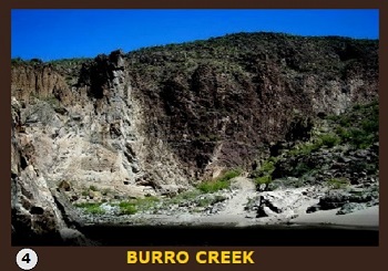
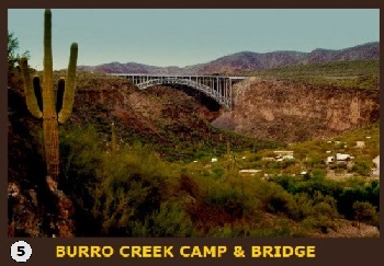
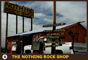
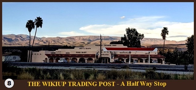
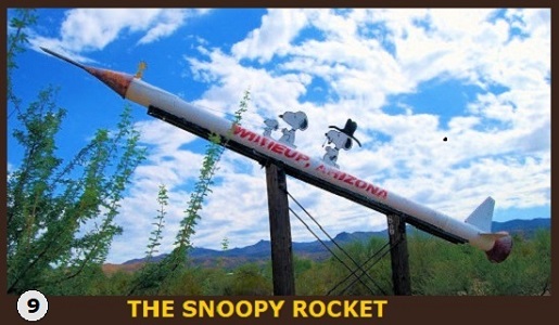
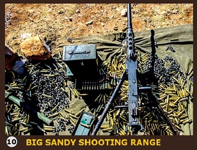
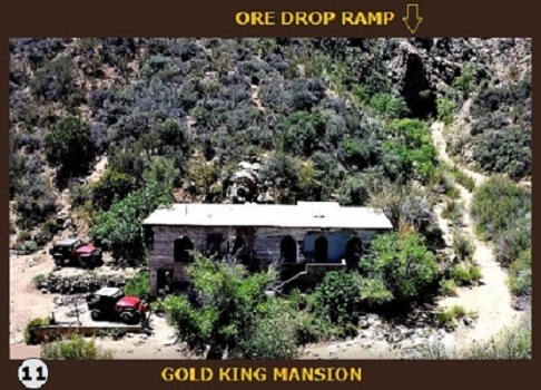
Numbers 4 thru 11, show where the following pictures of year 2020
appear on the map. :)
Numbers 4 thru 11, show where the following pictures of year 2020
appear on the map. :)

BRYAN DID
TAKE
HOME A
PRIZE.
Plus, it helped
his mind to
become an
Engineer and
create this
COMPANY.
TAKE
HOME A
PRIZE.
Plus, it helped
his mind to
become an
Engineer and
create this
COMPANY.
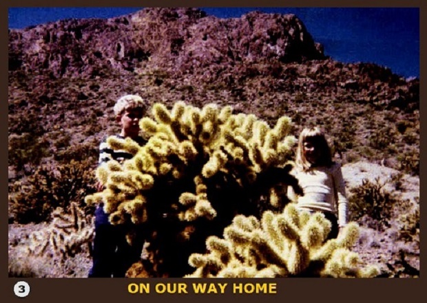
Vern, "this is a "CHOLLA" cactus,
pronounced 'choya', in Spanish-
one mean plant with MANY stickers."
It's a wonder Bryan and Kelly get stuck.
These were the words my Tucson friend,
HECTOR. Hector's Uncle, when young,
had been a cowboy. When sleeping in
the desert, would cut off pieces/arms
of Cholla and place them around camp
to keep rattle snakes away.