MOHAVE VALLEY
Go To EXCHANGE Map

Bullhead City is the largest city in Mohave County; with over 59 square miles.
In March 1864, the current site of Bullhead City was the location of a settlement
called Hardyville. It became the county seat of Mohave County in 1867.
Hardyville was renamed Bullhead City after the dam that was originally called
Bullhead Dam; after "Bull's Head Rock", a rock formation in the Colorado River.
Bullhead City became the headquarters for the construction project,
which was completed in 1953. Thus, the name Bullhead City was born. WIKIPEDIA
In 1978;
OUR FAMILY DROVE OLD ROUTE 66 TO OATMAN
OUR FAMILY DROVE OLD ROUTE 66 TO OATMAN
The MOHAVE Nativies refer to themselves as the Pipa Aha Macav, meaning "People by the River".
The Spanish Explorer, "Melchor Díazmet" met these Indian on coming through Mohave Valley in 1540.
The Spanish Explorer, "Melchor Díazmet" met these Indian on coming through Mohave Valley in 1540.
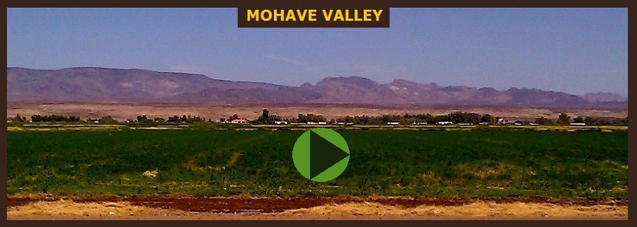
The Mohave Valley is located on the east shore of the south-flowing Colorado River.
The valley extends into California's San Bernardino County.
The northern side of the valley extends into extreme southeast Clark County, Nevada.
The valley is at the intersection of the southeast Mojave and northwest Sonoran Deserts.
The valley extends into California's San Bernardino County.
The northern side of the valley extends into extreme southeast Clark County, Nevada.
The valley is at the intersection of the southeast Mojave and northwest Sonoran Deserts.

i DID SPOT SOME
VERY OLD POLES
ON OUR DRIVE
ALONG OLD
ROUTE 66.
VERY OLD POLES
ON OUR DRIVE
ALONG OLD
ROUTE 66.
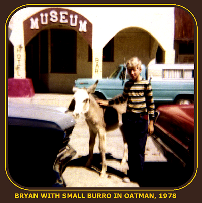
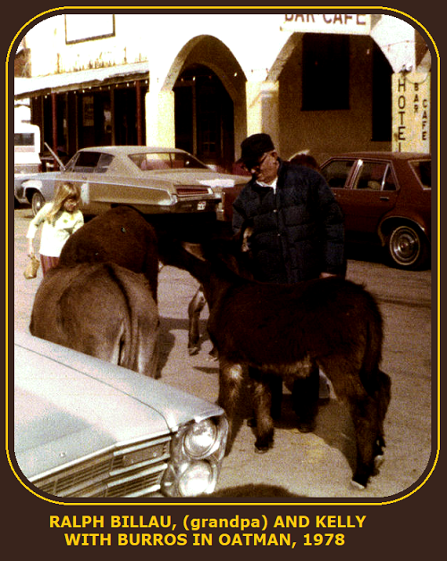
THE BEST PART
OF OUR VISIT
IN OATMAN WAS
WHEN RALPH
TAKE HOLD OF
A BURRO AND
OPEN ITS MOUTH
TO SEE HOW OLD
IT WAS BY
LOKKING AT
ITS TEETH.
OF OUR VISIT
IN OATMAN WAS
WHEN RALPH
TAKE HOLD OF
A BURRO AND
OPEN ITS MOUTH
TO SEE HOW OLD
IT WAS BY
LOKKING AT
ITS TEETH.


CLICK
The name "Oatman" was chosen in honor of Olive Oatman, a young Illinois girl who was captured and enslaved by an Indian tribe
during her pioneer family's journey westward in 1851.
She was later traded to the Mohave tribe, who adopted her as a daughter and tattooed her face in the custom of the tribe. She was eleased in 1856 at Fort Yuma. WIKIPEDIA
during her pioneer family's journey westward in 1851.
She was later traded to the Mohave tribe, who adopted her as a daughter and tattooed her face in the custom of the tribe. She was eleased in 1856 at Fort Yuma. WIKIPEDIA
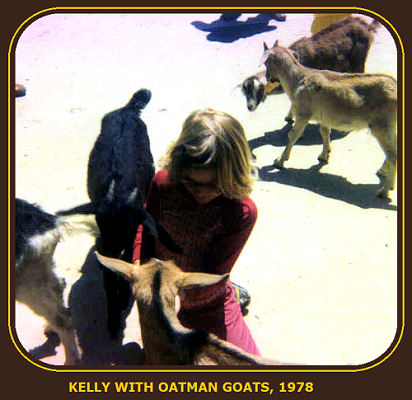
The town of Oatman was born in 1906 as a tent camp and flourished as a thriving gold mining center till 1942. Located on historic Route 66, this
family-friendly town features gift shops restaurants, staged gun fights and friendly wild burros. Oatman been the filming location for several, classic western motion pictures in the 1930s.
The Black Mountains surrounding Oatman are full of canyons, riverbeds and washes ready for exploring by off-road sand-rail tours or
horseback rides on trails once used by the U.S. Cavalry.
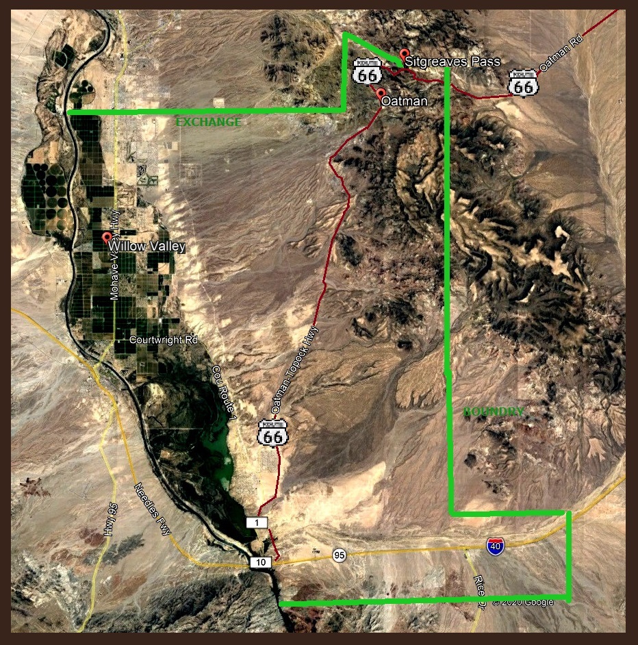
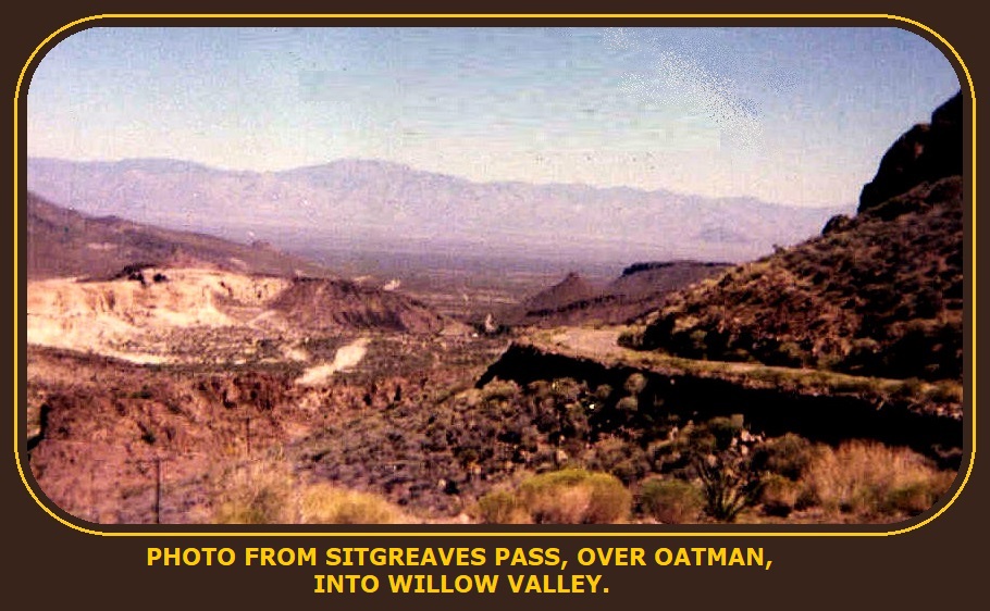
Sitgreaves Pass, is a gap at an elevation of 3,586 feet, wandering above Oatman. When Edward Fitzgerald Beale built Beale's Wagon Road
over this pass in 1857, he named it John Howells Pass
for one of the men in his expedition.
Subsequently, the pass was renamed for Captain Lorenzo Sitgreaves,
of the Corps of Topographical Engineers,
over this pass in 1857, he named it John Howells Pass
for one of the men in his expedition.
Subsequently, the pass was renamed for Captain Lorenzo Sitgreaves,
of the Corps of Topographical Engineers,
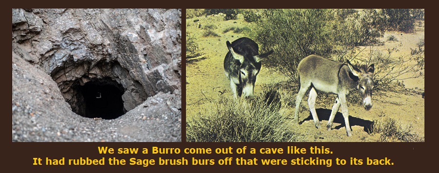
Sage Brush grows for miles in the deserts. It is very dry for the lack of water. When Burros wander through the brush they get covered with hundreds of the brush BURRS.


Go To EXCHANGE Map