Vern - Just south of Goldstream Road Crossing
Goldstream Road UNDERPASS - 1984
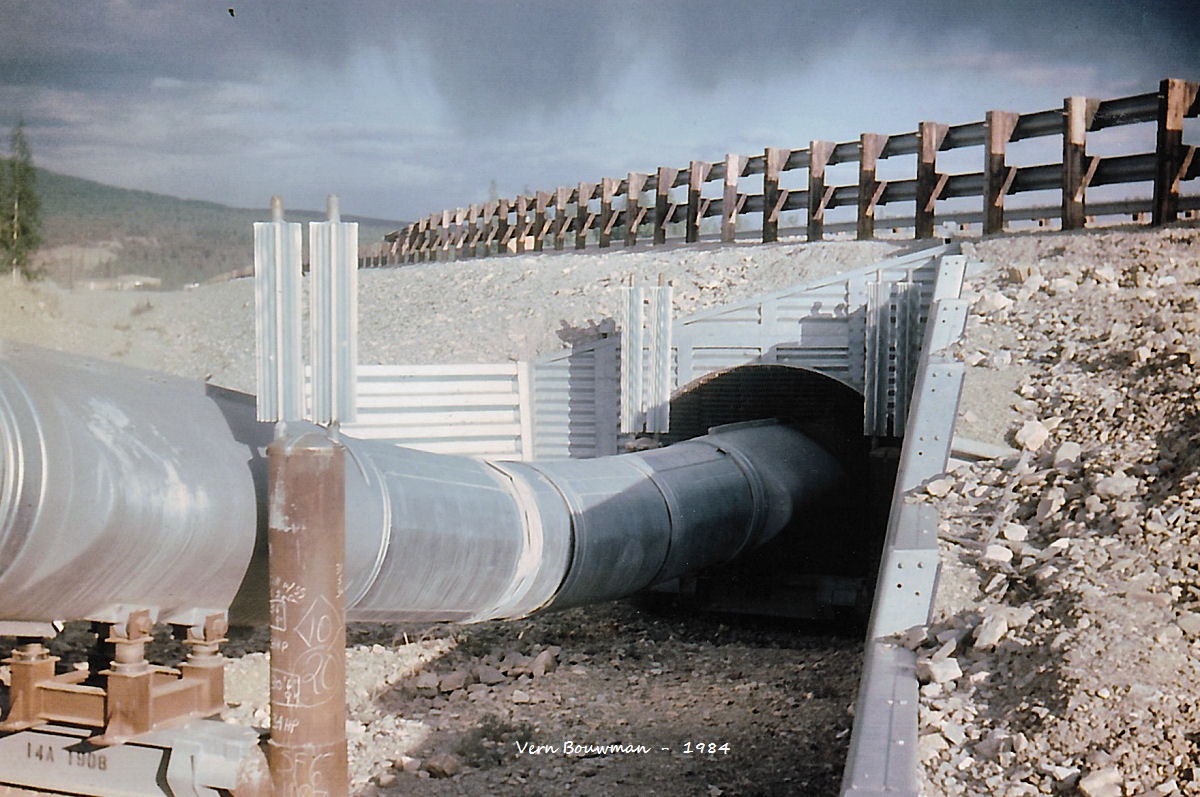
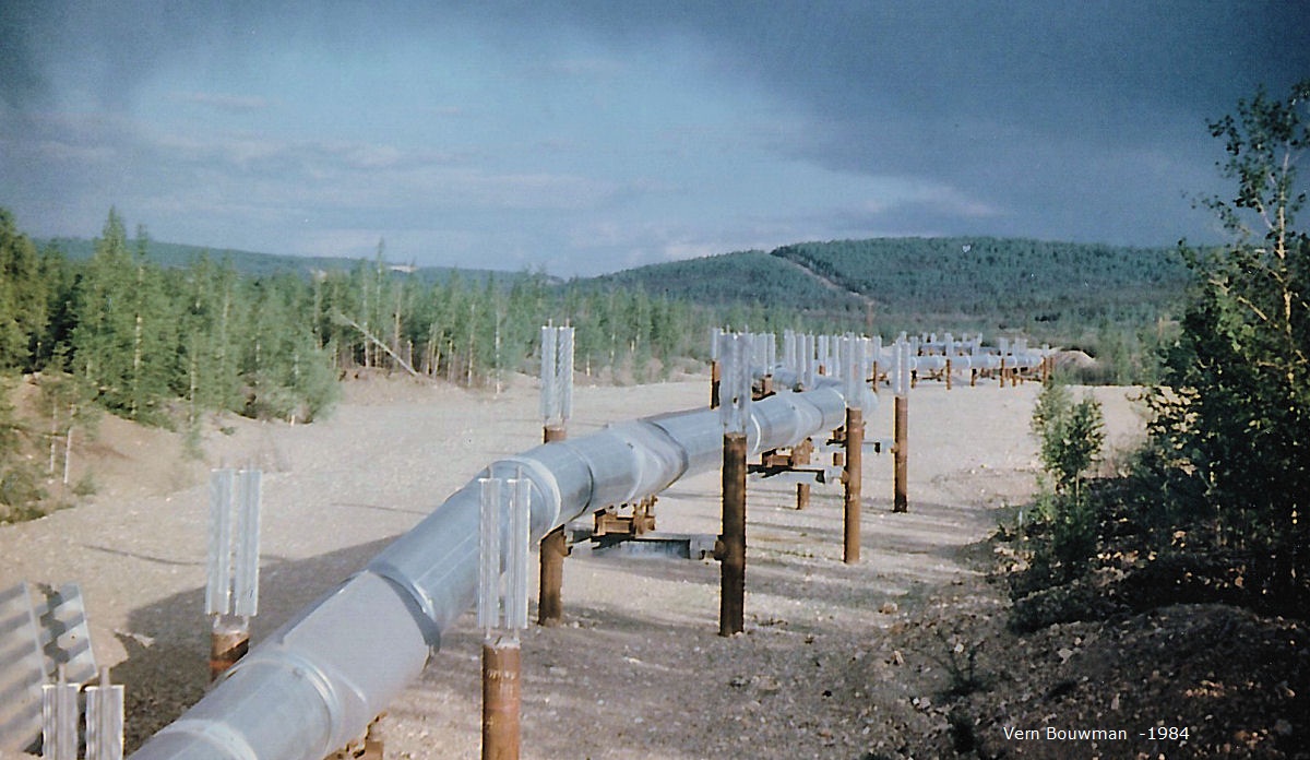
Looking north from Goldstream Road
|
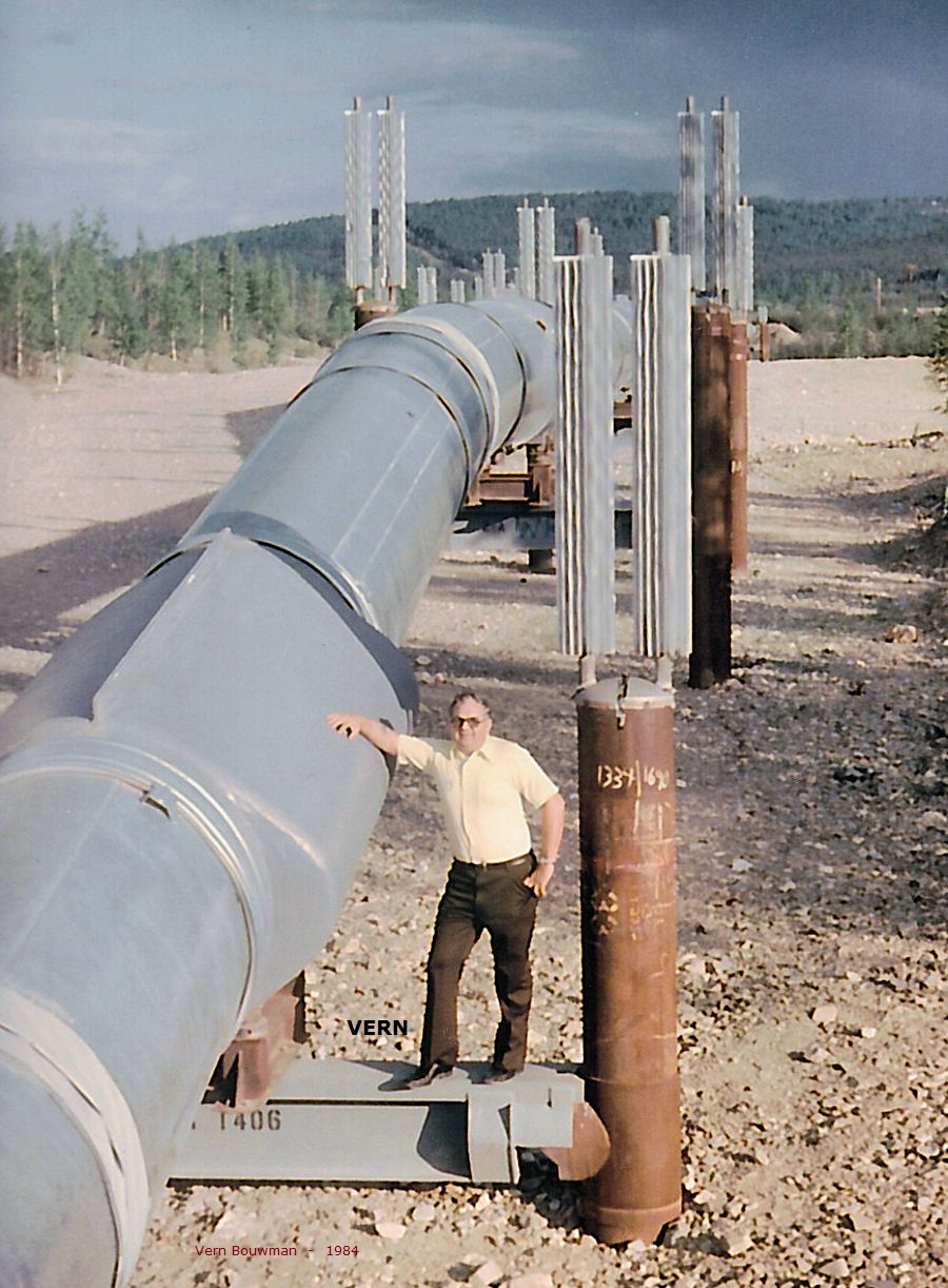
The
48-inch diameter pipeline crosses three mountain ranges as
well as forests, rivers, and plains. More than half the line is
elevated in
sections ranging from about 30 miles in length to the a few hundred
feet. The
remainder is buried underground. The
decision to elevate or bury the pipe depended primarily on
soil conditions and the possible effects of the pipeline heat on the
soil.
Normal burial was used in stable soils and rocks, where thawing would
not cause
loss of soil support for the pipeline. Additionally, special burial
techniques
were used in some short sections for animal and highway crossings. In
places where melting permafrost might create soil stability
conditions, the pipeline was insulated, jacketed, and installed above
ground.
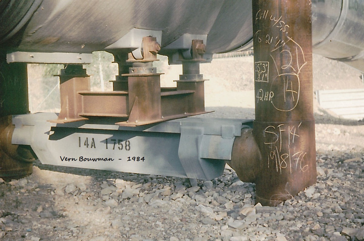
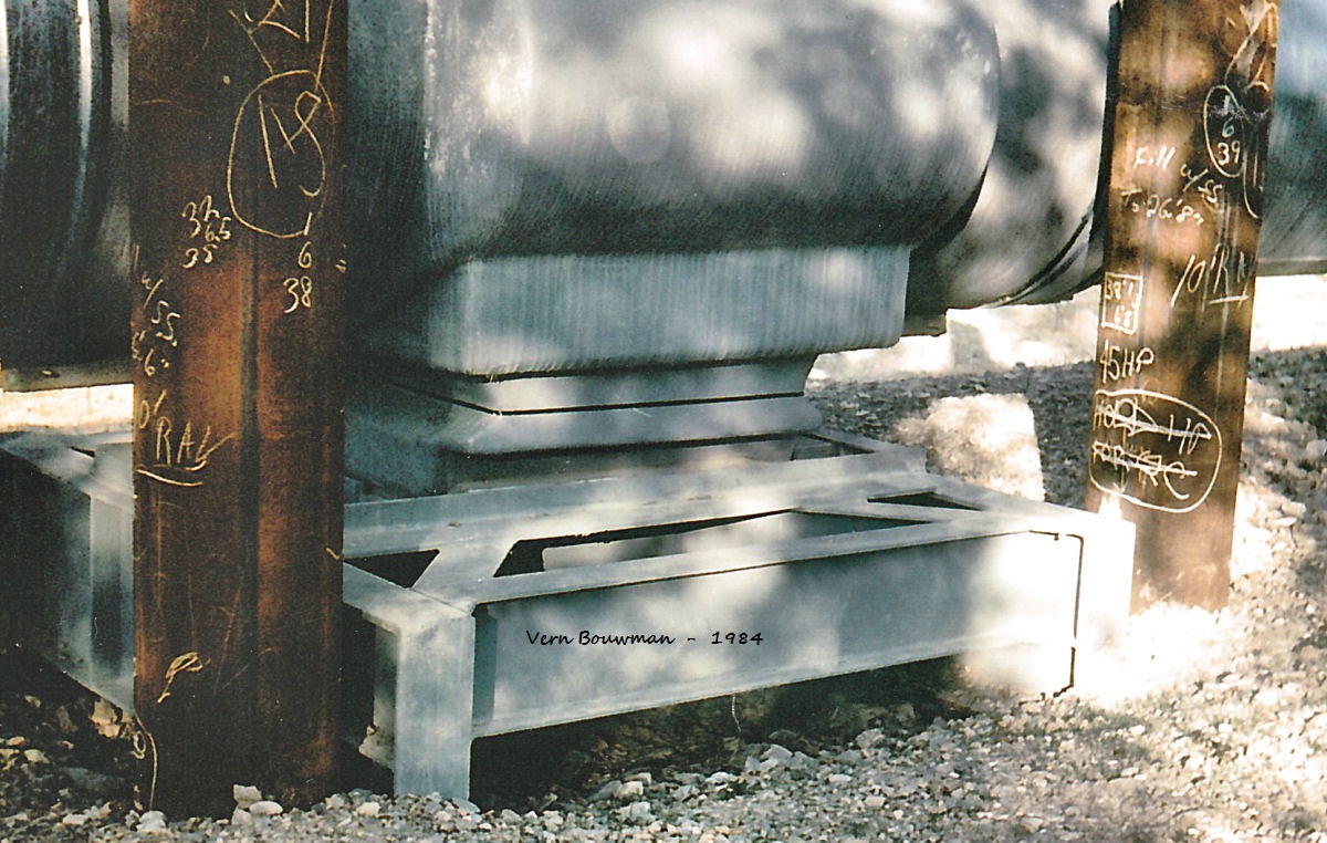
Thawing around the aboveground supports in the most heat-sensitive
areas was
and is prevented by thermal devices that carry heat up through the
pipes to
radiators on top of the supports. Aboveground
sections were built in a flexible zigzag pattern in
which longitudinal expansion or contraction of the pipe from heat or
cld is
converted into sideways movement. This also accommodates pipe motion
induced by
earthquake. From: HISTORY
PAGE See: WIKIPEDIA |