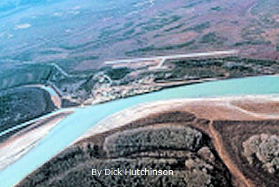
CIRCLE, Alaska -- WEBPAGE
48 miles south of the Arctic Circle and 160 miles from Fairbanks.
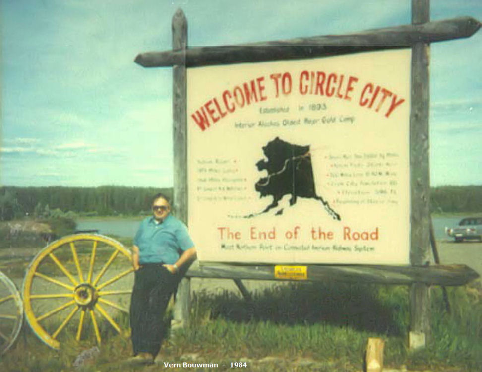
Vern and his trip buddy took a day trip up Steese Hwy. where the road came to an end.
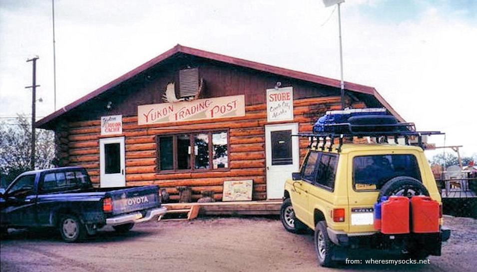
Vern remembers this store where they purchased some things. POPULATION 88
|
With the
discovery of gold in nearby Preacher Creek, Circle was established in
1893 as a
supply point for goods shipped up the Yukon River and then overland to
the gold
mining camps. The town was named Circle City because the early miners
thought
they were near the Arctic Circle, which in fact lies 50 miles north. By 1896,
before the Klondike gold rush, Circle was the
largest mining town on the Yukon, earning the nickname "The biggest log
cabin city in the world" with a population of 700. It boasted an Alaska
Commercial Company store, eight or ten dance halls, an opera house, a
well-stocked library, 28 saloons, a school, a hospital and an Episcopal
Church. Log cabins stretched out for nearly a mile and a half
along the
river front. It had its own newspaper and a number of residential
U.S.
government officials.
Circle was
virtually emptied after gold discoveries in the
Klondike and Nome near the end of the 19th century. A few hearty miners
stayed
on in the Birch Creek area and Circle became a small, stable community
that
supplied miners in the nearby Mastodon, Mammoth, Deadwood and Circle
Creeks.
Most of the main part of town became a family owned farm that produced
its own
vegetables, meat, milk, cheese and eggs. The family farmhouse
still
stands today, in front of the trading post and is commonly known as the
"Rasmussen House".
Today,
most of the residents are Gwitch'in Natives.
Circle has electricity, telephones, a post office, school, two stores,
a cafe,
bar and 2 churches. There is also a campground and boat ramp for
visitors. The Steese Highway offers nearly year-round access to
Circle;
during the winter months the road conditions can make travel to Circle
by road
difficult. Circle has experienced its share of flooding over the
years. Flood levels can be seen on a marker located behind the
"Welcome
to Circle City" sign above. Pictures of the last two floods hang
in
the Yukon Trading Post. Mining activity continues in Circle today.
|
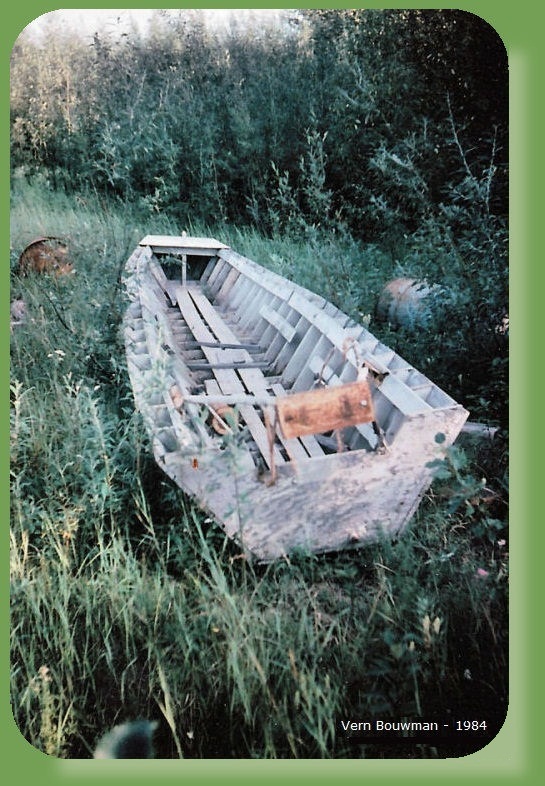
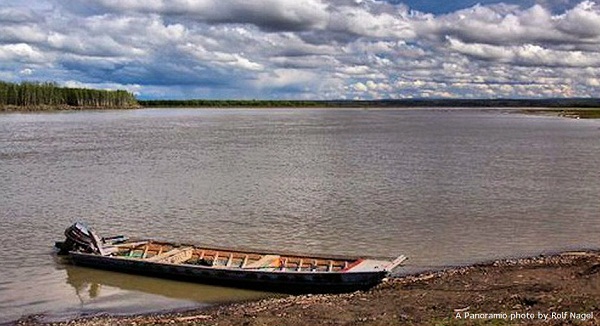
Vern found this boat along the Yukon
River.
 |
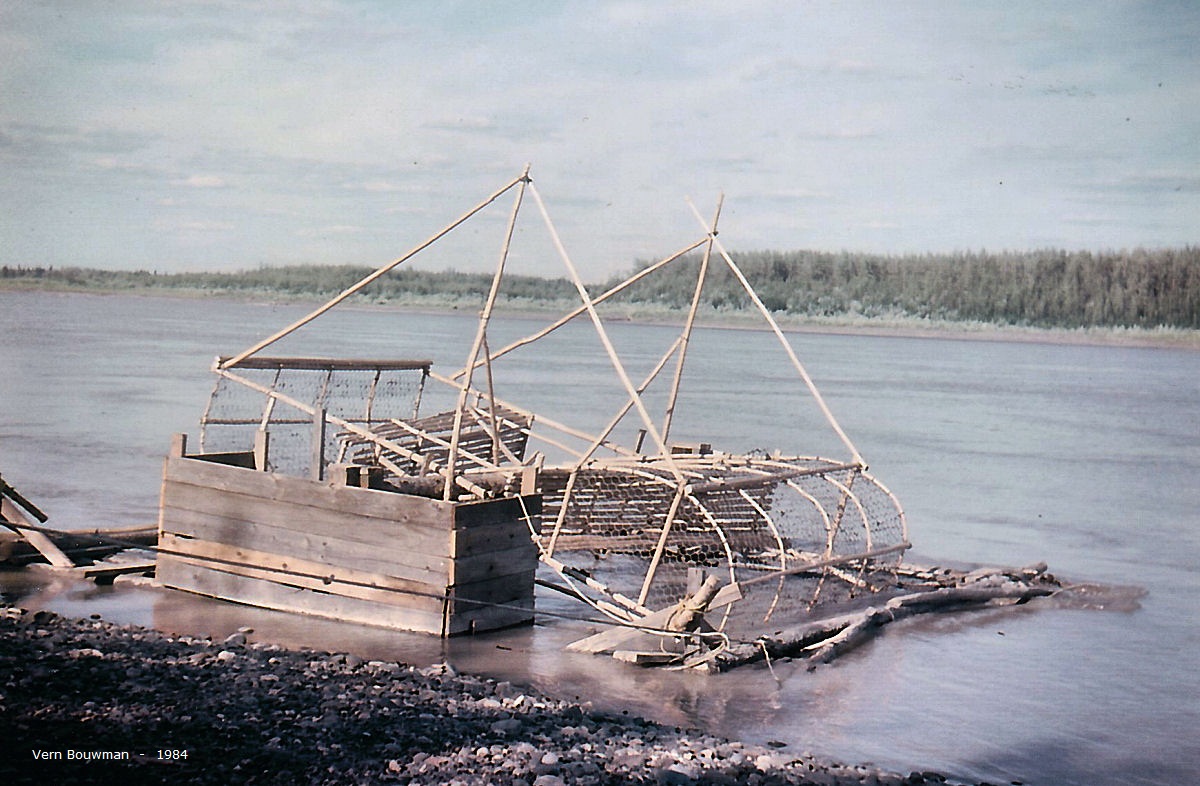
This BEAUTIFUL FISH WHEEL was moored at the end of the road on Vern's 1984 trek. View the RAPIDS FISH CENTER.
|
The view below of the Yukon River is
from Circle Alaska. The main shore line is on the right and to the left
is a one of hundreds of large islands in the Yukon. The actual width of
the Yukon at this point is at least six miles across. In the photo
above it's only about 1000 ft. across to island.
 |
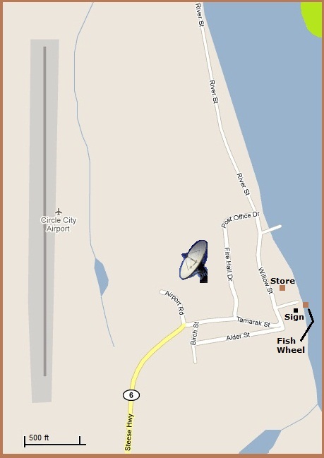
The village map below, spots the
locations of photos.
 |
This is an interesting post card from
about 1910.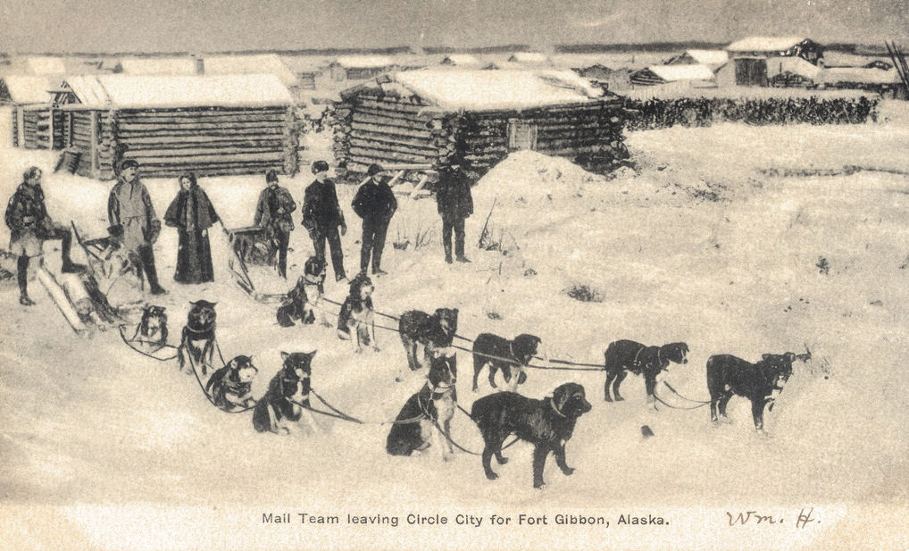 Photograph
from postcard was published by the Lowman & Hanford
Stationery and Printing Company |
|

